|
last updated: Tuesday, January 29, 2002 02:20:03 PM
W6AMT
Grid Map Page
Special
purpose North American grid maps.
These maps make excellent wallpaper for your contest setup...

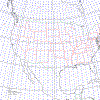
| The row below has a radius of two thousand
kilometers. They are scaled for for 6M and VHF grid tracking and centered
midway through the US latitudes. |
Centered on CM87xh
with 2000 km radius |
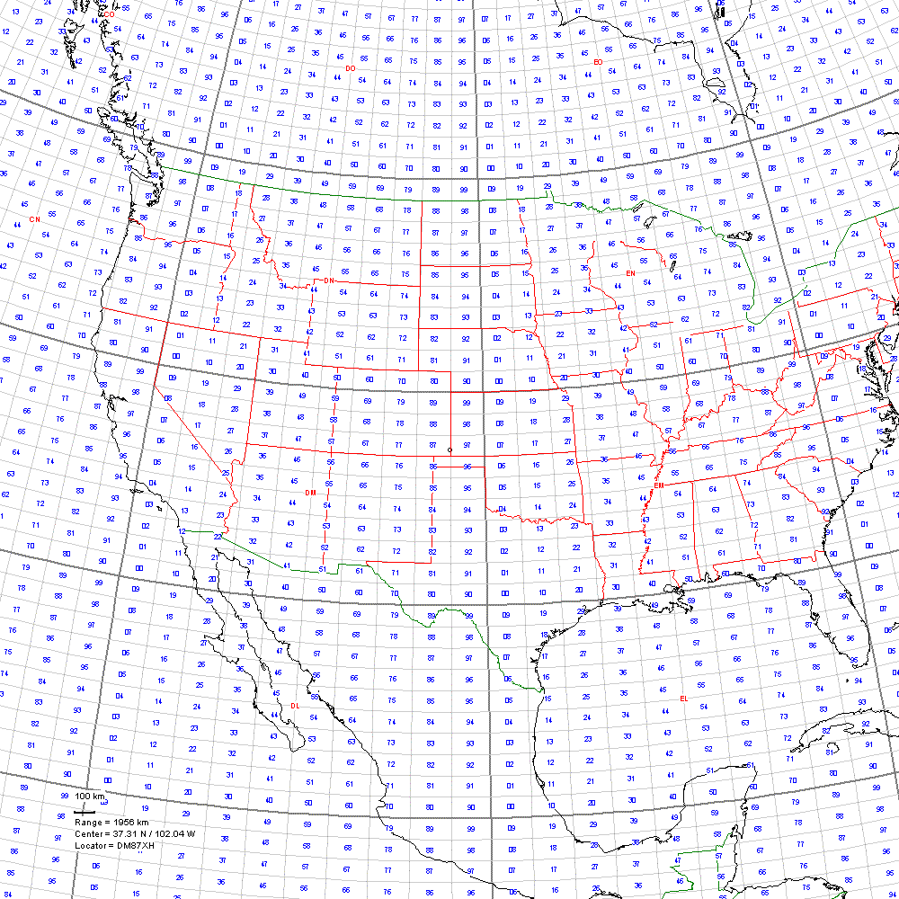
Centered on DM87xh
with 2000 km radius |
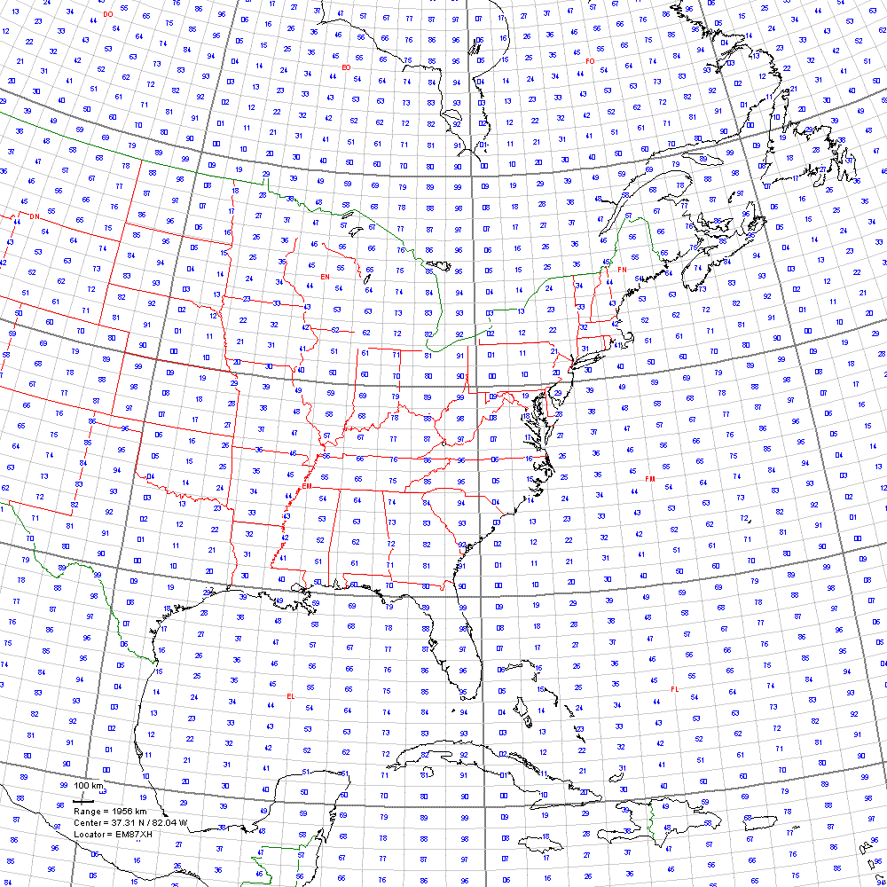
Centered on EM87xh
with 2000 km radius |
 |
 |
 |
|
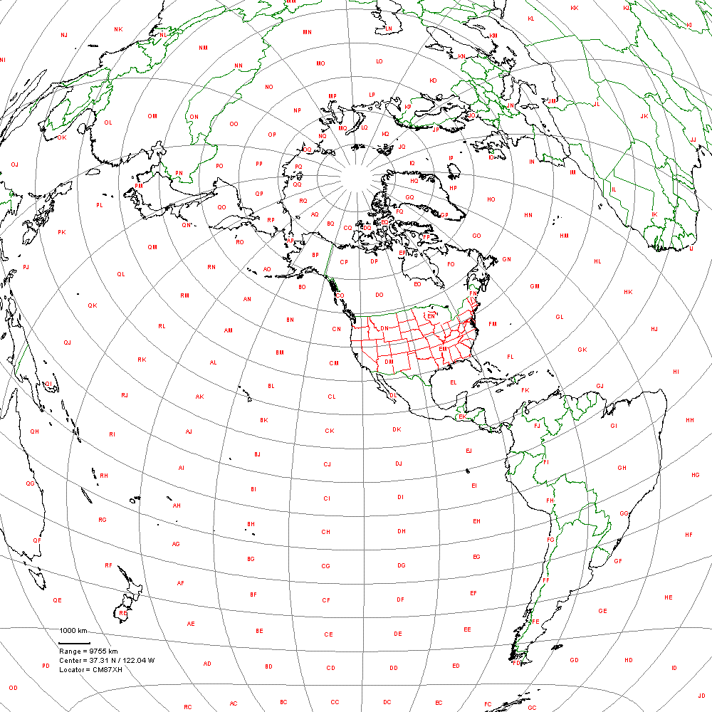
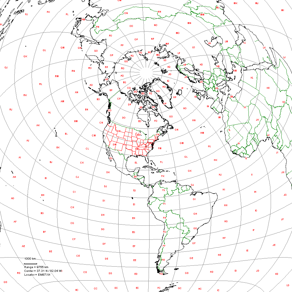
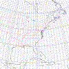
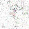
| Below are 10,000 km radius maps. The larger
scale makes them more useful for HF operations. Again, they are centered midway
through the US latitudes. |
Centered on CM87xh
with 10,000 km radius |
Centered on DM87xh
with 10,000 km radius |
Centered on EM87xh
with 10,000 km radius |
 |
 |
 |
|
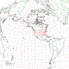
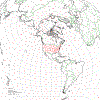
| Some
special purpose Grid Maps...
|
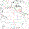
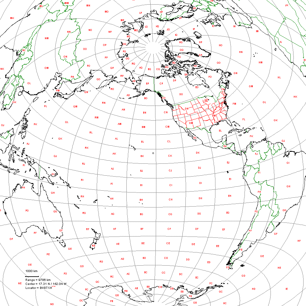
Ever wonder how the world looks from Hawaii? |

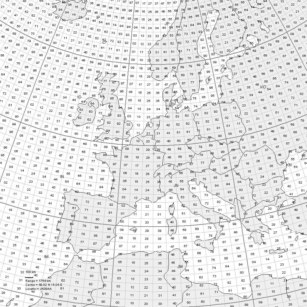
Here's one of Europe, handy for those F2 6M
openings! |
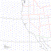
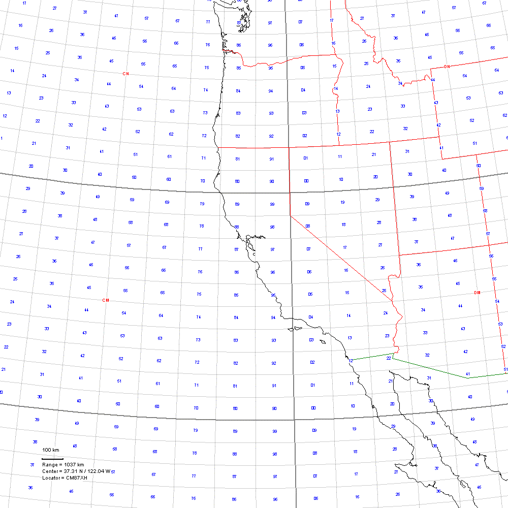
Or, need a smaller scale (radius of 1000 km) (1Mm?)
map centered on Silicon Valley? |
|
|
|
|
Pictures generated with GcmWin,
and distances calculated with BD or Locator.
You might also be VERY interested in a great site called Earth and Moon Viewer.
It does what it says!
Copyright © January, 2002 AMT
ARC

|