Beacons
Homepage
The W6AMT Beacons is a
Windows program which automates the collection of radio propagation data.
HF data is collected by monitoring the worldwide network of NCDXF / IARU HF beacons.
Screen Shots:
Click on thumbnail to get larger picture.
|
|
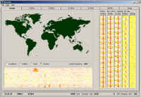
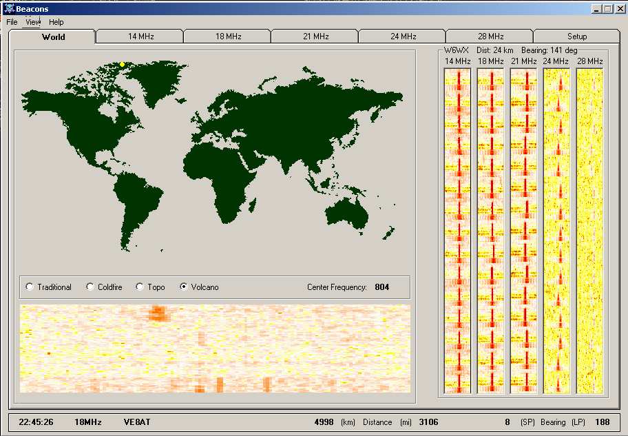
This screen shot shows the
'World' tab selected. The display below the world map is a
real-time continuous display of the received spectrum. To the
right is the 'by beacon' waterfalls collected for all five bands
from a particular beacon. The world map displays the currently
transmitting beacon as a yellow dot; the distance and bearings
to it are shown across the bottom. |
|
|
|
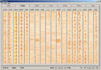
| This screen shot shows the
'by band' waterfall collection. Data is collected from every
beacon on the band so you can see where in the world the band
(in this case, 14 MHz) is open to. The calls grayed
out at the top of the waterfall are those beacons that may
be off the air. |
|
 |
Naturally, the colors of the
waterfalls (the "Volcano" palette is shown in the screenshots
above), the radio to control, the station location and the bands to scan are all user
determined.
Beacons also provides time-synching and on-line access to help
and pertinent data (via the Internet).
Future
The Beacons program is being
expanded to include VHF beacons (6M and up), and target frequency
monitoring.
The plan is to collect beacon data by monitoring a range of
user selected frequencies (say: 50.0 to 50.1) with the signals
detected being back correlated to one of many on-line beacon databases.
This will permit presenting bearing and distance info along with the
received signals (as with the HF beacons).
Two meter (and higher) beacon monitoring may include rotator control.
|